The Restaurants Around Bay Island That Never Ask You to Park
August 27, 2026
August 27, 2026
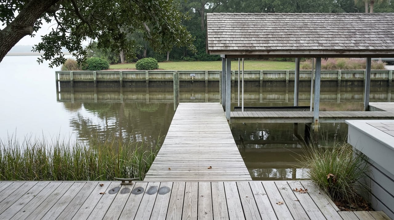
A center console idles up to the dock behind Chick's Oyster Bar on a Thursday evening in late August, and nobody on board has thought about where to leave a car. That's the whole point. On the stretch of water between Broad Bay and the Lynnhaven Inlet, most of the summer's real social life happens without touching a parking lot, a hostess stand, or Shore Drive traffic at all.
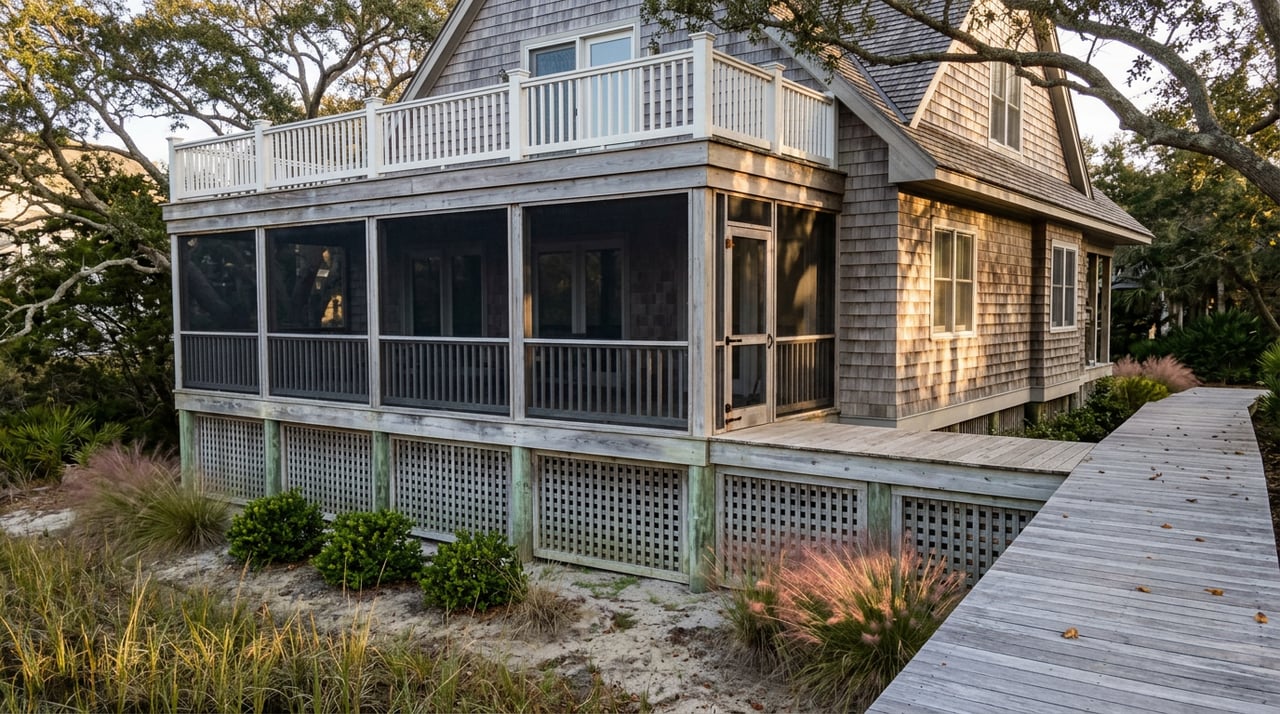
That's not a quirky exception here. It's the operating logic of the neighborhood. Bay Island was built around water access first and road access second, and the businesses that have lasted around it were built the same way. Understanding that order explains more about how the last weeks of summer actually unfold here than any list of "things to do nearby" ever will.
Chick's Oyster Bar sits on the Lynnhaven River and has been a fixture of this stretch of Shore Drive for more than 25 years. What sets it apart from a typical seafood restaurant isn't the menu, though the oyster stew has its defenders. It's that the restaurant treats a boat pulling up to the dock as a completely normal way to arrive for dinner. Tie up, and the staff will bring the order to you. There's no requirement to come ashore at all.
That single operational detail says something about who this restaurant was built to serve. A place designed primarily around car traffic doesn't bother maintaining dock service for large groups in peak season. Chick's does, and by midsummer the outdoor seating regularly runs near capacity, with the restaurant taking reservations for parties of 15 or more specifically because boat traffic brings people in bunches.
A short run up Long Creek gets you to The Porch on Long Creek, another waterfront spot known for she-crab soup and a sushi menu that doesn't fit the usual clam-shack mold. Between Chick's and The Porch, residents on Bay Island have a two-restaurant circuit that can be run entirely by water. No stretch of Shore Drive, no parking search near the Hilltop shopping district, no traffic light at First Colonial Road.
That matters more this year than it might in a typical August. Traffic on Shore Drive tends to thicken through the summer as beachgoers funnel toward the oceanfront and back, and the corridor sees steady congestion during peak tourist weekends. A household that can get to dinner without joining that flow isn't just avoiding an inconvenience. It's opting out of an entire seasonal rhythm that governs most of Virginia Beach.
Not everything here runs by water. The Shore Drive corridor has its own Saturday morning ritual: a farmers market that draws residents out for local produce before the day gets hot, alongside the Food Lion and the handful of casual restaurants that line the road between Bay Island and the Lesner Bridge. As August closes in on Labor Day, that Saturday routine starts to feel less like peak season and more like the last stretch of it, the version of the schedule that locals get to enjoy once the weekend day-trippers thin out.
First Landing State Park sits just across the water and up Shore Drive from Bay Island, and it functions less like a single destination and more like three different access points depending on what a resident actually wants to do that day.
| Entry Point | Best For | What's Different Right Now |
|---|---|---|
| Main entrance, 2500 Shore Drive | Bay beach, visitor center, camping | New history exhibits on the park's 1607 landing and Civilian Conservation Corps origins rolled out this spring |
| Narrows boat launch, off 64th Street | Motorboat and jet ski access between Broad Bay and Linkhorn Bay | Popular put-in for locals who'd rather launch here than fight beach parking |
| Trail Center entrance | Cape Henry Trail and Bald Cypress Trail | Cape Henry Trail runs about 6 miles and is one of the only First Landing trails open to bikes |
The park's cabins are closed for renovation through Halloween 2026, which means one of the usual sources of overnight camping traffic is simply absent this season. For a resident who hikes the Bald Cypress Trail or launches a kayak at the Narrows expecting a crowd, that absence is the difference between a full lot and an easy one.
Back in June, Bay Island got a preview of what genuinely crowded water looks like. On the morning of June 19, more than 50 tall ships, military vessels, and historic ships from roughly 20 countries gathered near the Lesner Bridge as the launching point for Sail250, part of a national commemoration marking America's 250th anniversary before the parade of sail continued into the bay and on toward Norfolk. Coverage ahead of the event pointed people toward the Chesapeake Bay side of Virginia Beach for the best view, the same shoreline Bay Island residents look out on every day.
For one afternoon, the water that Bay Island residents usually have mostly to themselves became the main event for the entire region. Within days, the crowds dispersed and the corridor went back to its normal rhythm. That contrast is worth sitting with. The version of this neighborhood that most visitors never see, quiet water, easy dock access, restaurants that don't require finding parking, is genuinely the default. June 19 was the exception, not a preview of what late summer here usually looks like.
Ask most people on Bay Island where the boundary sits between Broad Bay Colony and Bay Island proper, and you'll likely get a shrug. Technically, the island is divided into two developments, Broad Bay Colony on the western half and the eastern half carrying the Bay Island name, but in everyday use almost everyone calls the whole place Bay Island. That kind of casual merging of two platted communities into one shared identity doesn't happen by accident. It happens when the water, not the street grid, is what actually organizes daily life.
The area carries an older history than most of the neighborhoods around it, too. Long before either development existed, historians believe Great Neck Point or the land at Bay Island was likely the site of Chesepioc, a major Chesapeake Indian village. It's a detail easy to miss on a boat ride to dinner, but it's part of why this particular stretch of water has drawn people to build a life around it for longer than either development's plat map suggests.
None of this adds up to a single dramatic event. It adds up to a neighborhood where the boat is still, in a practical and daily sense, faster and easier than the car for getting to dinner, where the park across the water has fewer overnight campers competing for trail space this year, and where the one weekend the water got genuinely crowded was memorable precisely because it was so unusual. That's the version of Bay Island that doesn't show up in a generic neighborhood roundup, because it only makes sense once you've lived here long enough to notice what's missing on a normal Thursday night: the parking lot.
If you're weighing what a home on this stretch of water is actually worth, or just curious how a specific property here compares to what's sold recently, Missy L'Hoste & Team knows this corridor block by block, dock by dock. Reach out anytime you want a local read on the market, no boat required.

Our knowledge of the area will allow us to focus on the best strategy to not only achieve your goals, but to exceed your expectations. We know how to take control and get the job done to your complete satisfaction. Work with the team now!